The Elizabeth Islands lie between Martha's Vineyard and the southern coast of Massachusetts. Cuttyhunk is the last in this chain of islands that stretch south and west from the base of Cape Cod. Cuttyhunk is derived from Pocutohhunkunnoh a Wampanoag
word meaning Land's End or Point of Departure.
Below you can see a close up of Cuttyhunk. The Pond where we anchored is in the northern part of the island. You can see the narrow breachway that we tacked up straight into the wind to reach our anchorage. In the Southwestern corner of the island you can see West End Pond where the Gosnold monument is located. The land to the East is Nashawena across the infamous Canapitsit Channel.
Native Americans moved into this area around 10,000 years ago following the retreat of the glaciers from the last ice age. Speculation is that the Wampanoag Indians inhabited Pocutohhunkunnoh during the summer months, hunting, fishing and gathering shellfish, and then moved to a more sheltered location on the mainland for the winter.
In 1602 a group of European explorers arrived on board the Bark Concord led by the Englishman Bartholomew Gosnold. There were 32 men in the expedition 20 of whom were settlers and were planning to establish a permanent settlement. The rest would return to England and arrange for supplies to be sent out to the colonists.
Painting William Allen Wall courtesy of the New Bedford Whaling Museum
Gosnold met peacefully with the natives near present day New Bedford. The Europeans nevertheless felt threatened by the natives who greatly outnumbered them. Gosnold and the settlers selected a small island in the middle of a little pond on Cuttyhunk as the site of their encampment and proceeded to build a fort.
Painting by Albert Bierstadt courtesy of the New Bedford Whaling Museum
When not working on the fort the men gathered cedar logs and sassafras roots to sell back in England.
The twenty men who were suppose to stay got cold feet and when after six weeks the Concord was setting sail they asked to be taken back to England. Gosnold failed to establish a permanent settlement and Sir Walter Raleigh confiscated all of his sassafras, but Gosnold interacted peacefully with the natives and returned all of his expedition safely home. I was also planning an expedition to Cuttyhunk hoping for a pleasant visit and a safe return home.
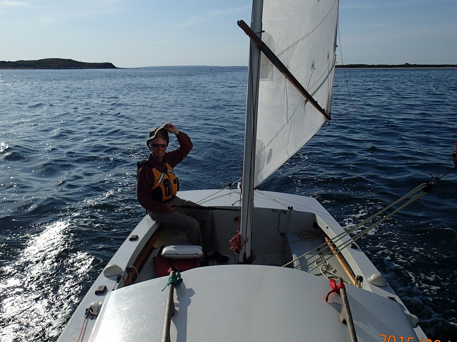
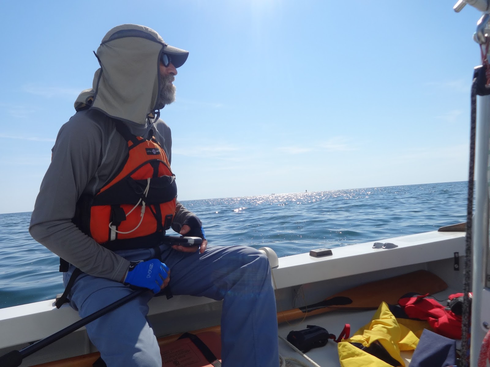
The day of our departure Monday September 14, 2015. The weather forecast includes a small craft warning, winds West Southwest 15-20 knots with gusts to 25 knots, seas 4-6 feet. I thought about calling David and suggesting that we postpone our departure until Tuesday, but in the end I decided we would double reef and poke our noses outside the Harbor of Refuge and then make a final decision. Sally had decided to sit this trip out. My cousin David was interested in going so we teamed up for this trip to Cuttyhunk. Our plan was to leave Monday with food and water for 4 days. We would head for Cuttyhunk and then over to Menemsha on Martha's Vineyard and be back to Point Judith on Thursday.
We loaded up our gear. Raised sail and left Great Island about 9:30am.
Conditions were so mild that I was feeling foolish for considering postponing the trip. I was even wondering if we should take a reef out of the sail.
Sally and Heidi drove down to the breachway to send us off. It was a beautiful day with the wind from the West around 10 knots. Temperature around 70 F. We were not in a race and I wanted this first trip of David's on Skorpa to be a safe one, so I decided to stick with the double reefs expecting that the wind and waves would build as we left the shelter of Point Judith Pond.
As we were sailing off Narragansett the wind and waves continued to build. Wind 15 knots and the waves 2-3 feet. With two reefs we were making 5-6 knots. The forecast was still for small craft warnings and winds 15-20 knots with gusts to 25 knots. David was new to sailing Skorpa and getting used to the rigging, the tiller, and how a cat-ketch differs from a sloop takes some time. So we kept our reefs in.
I just happened to be shooting some video when a dolphin swam across the screen. What an exciting wonderful few minutes we had. The video is pretty good but it doesn't let you see into the water very well. If you look closely you can see shapes beneath the water. I could see them quite well and it was incredible watching them swimming below and just in front of the bow and weaving back and forth.
It is about 30 miles in a straight line from Point Judith to Cuttyhunk. Following the straight line we would spend a lot of time in the shipping channels and there would be no shelter available along the way. We chose to hug the coast a little adding maybe five miles to our route but giving us the option to anchor for lunch or for the night if we felt that was prudent. Third Beach near the mouth of the Sakonnet River is a nice anchorage sheltered from the south and west.
As we approached the southern end of Aquidneck Island and the Sakonnet River we decided to head towards Easton Beach(Second Beach). This seemed closer than going around Sachuest and up to Third Beach. I was still thinking about anchoring while we ate lunch and discussed our options. As we drew into the lee of The Breakers one of the mansions along Newport's Cliff Walk, David suggested that we heave to and eat lunch as we drifted instead of proceeding the rest of the way to Easton Beach and taking the time to anchor. Earlier in the summer David had come on a brief sail with me in Skorpa and he had been impressed with how easy it was to heave to. Loosen the mainsheet and snug up the mizzen sheet. The boat lies quietly pointed into the wind and drifting back slowly. It takes about 10 seconds.
We discussed the situation. We had about 18 miles to the outer harbor at Cuttyhunk. If everything were to go right we could be there around 4pm. I was not sure if we would be able to sail through the narrow breachway into the Pond. We may have to lower sails and row. There were no other options, either stay here at Easton Beach or perhaps move over to Third Beach or make it all the way to Cuttyhunk. The wind had built a little and we felt it had neared its peak. The waves would probably continue to build somewhat. Just before lunch the boat had been sailing faster 7-8 knots with the occasional surf in the lower teens. The boat felt under control so we decided to go for it.
Looking back at the videos the waves appear about one half the size they appeared that day from the boat. The Block Island buoy reported wave heights of 6.5 feet Monday afternoon. So far I have not been able to access wave height data from The Buzzards Bay tower which was about two miles off our route. I do not have any video of the largest waves nor of the boat at its highest speed which maxed at 14.4 knots while we were surfing on a wave. Not bad for carrying two reefs.
As we sailed by the stern of one of the yachts in the basin, someone came out and gave us a round of applause. I am sure not many boats sail through that channel directly into the wind, and I would not recommend it during the summer season or when there is any amount of boat traffic.
Cuttyhunk Pond was quiet and well protected from the wind and waves. We enjoyed the security, relief and sense of accomplishment for awhile as evening settled in. I put some brown rice on the pressure cooker and David cut up onion, carrots and squash. Preparing a meal from scratch takes some extra effort and time but we both enjoy the ritual. When the ritual takes place in a quiet anchorage after a challenging passage with the sun setting, and the crescent moon and stars coming out it doesn't get much better.
That night the stars were visible bright and clear through the companionway and as Skorpa swung gently at her anchor it felt like we were motionless and the heavens rotated smoothly around us paused and then rotated steadily back.
We were both up early to enjoy the predawn stars of Orion and the planets Venus and Jupiter. The wind was blowing gently from the South Southwest. After breakfast we sailed a half mile across the Pond. We scanned the far shore looking for a place to beach the boat so we could go ashore to explore. We did not find any place suitable so we sailed up to the dinghy dock and I went in search of the harbor master. I learned from him that the grocery store was closed because the owners had gone for the day to the mainland on business. He graciously told me that since there were so few boats in the harbor it would be OK for me to leave my boat at the dinghy dock for a few hours while we explored the island.
While I was making sure Skorpa was secure at the dock David acquired a map of the island and we were off.
The buildings in the Village of Cuttyhunk are very well maintained. There was very little pedestrian or vehicular traffic and the vehicle of choice was the electric golf cart.
Above is the school house and nearby is the church.
As you progress up this strange stone wall lined avenue that was constructed for a never to be built mansion the views become more and more spectacular.
On the far side of Cuttyhunk Pond the peninsula referred to as Copicut Neck is visible and beyond in the distance is Penikese Island.
Just above the church steeple is Canapitsit, Wampanoag for the southern arm together with Copicut they form the narrow arms that surround Cuttyhunk Pond. In the distance is the next island in the chain the somewhat larger Nashawena.
When you get to the end of the Avenue you are at the top of Lookout Hill. There is not much here just the remains of some observation bunkers used by the military to watch for German U-boats during World War II and some incredible views of The Elizabeth Islands, Martha's Vineyard, and the southern coast of Massachusetts and if you look carefully on a clear day a bit of the southern coast of Rhode Island.
Looking towards the west end of the island you can see West End Pond and this strange tower. Our map had it labeled as the Gosnold Monument. This got our curiousity up and we decided to extend our shore leave on Cuttyhunk.
There is a rustic path along the southern edge of the island that leads to the Gosnold Monument and the lighthouse ruins. Along the way we snacked on some apples from an old apple tree long left to its own devises.
David consults the map as our rustic path narrows a bit. West End Pond and the tower are in the distance.
Much of the island is undeveloped, but it is very different from the tree covered island the Wampanaog knew.
It seemed a little strange to us that the Gosnold Monument is located on this tiny island in the middle of a little pond on the far side of Cuttyhunk Island but that is where in 1602 Gosnold and his men decided to build their encampment and where in 1902 the historical society decided to build their monument.
This cut connects West End Pond to Buzzard's Bay. The current was ebbing at a few knots and the water was 4 or 5 feet deep so we went no further. The ruins of the light house and the keepers house are in the background.
The winds were forecast to be light and primarily from the southwest. For this reason we had decided not to continue on to Menemsha as this would put us further from home. I still hoped to get an afternoon sail in. The plan was to sail around Nashawena. When we got back to the village we ate a quick lunch at the dock and raised sail. Below we are heading out the breachway with the wind behind us.
This is the southern side of Nashawena. There are farm buildings and cattle grazing on the island.
Here we are finishing our circumnavigation. We are approaching Cuttyhunk with Nashawena in the background. You may not see them very well in the photo, but there are large boulders strewn randomly across the islands. They are called glacier erratics and they were shipped here from New Hampshire by glaciers 10,000-15,000 years ago. In fact the second largest erractic in Massachusetts is located on Penikese.
We tacked back into the Pond with the wind again on our nose, but only at about 10 knots. We anchored in almost the same spot as last night and again watched the crescent moon follow the sun into the western horizon.
Facing East about 9 hours later Venus is leading the sun up across the horizon. The wind has shifted to the North East at about 5 knots.
We leave our quiet anchorage early to take advantage of the fair winds while they last. Forecast is for northeast wind 5 knots becoming south
Farewell to the Coast Guard house that watches over Cuttyhunk Pond.
David is giving a tip of his hat to Cuttyhunk and the Elizabeth Isles as we begin the homeward leg of our trip. Nashawena is on the left and Cuttyhunk on the right in the background.
We had some wonderful sailing for a few hours moderate winds and calm seas. Whenever I hear a NOAA forecast that goes Northeast winds 5 knots becoming South I know it can be a frustrating sailing day. When exactly will the northeast winds become southerly and how long, minutes or hours will this transition take?

Around 10am our lovely north winds began to fade. We had made some progress but we had a long way to go to get to the Sakonnet River. Skorpa as you probably know carries auxiliary propulsion in the form of two oars. We could read or doze and just wait for the wind to change direction and pick back up or. David suggested we row for awhile and that we did. We were able to move the boat at about 2.5 knots. We kept that up for about 2 hours when the wind slowly began to fill in from the south southwest. Nothing like a spell at the oars to make you appreciate the magic of sailing by the wind. With the light winds and calm seas we felt comfortable sailing in close to West Island which is a big rock that lies off Sakonnet Point.
Followed by Sakonnet Light.

We sailed into Sakonnet Harbor just to look it over. It is a snug little place but filled with boats at moorings. We headed off across the Sakonnet to Third Beach. There were a number of moored boats here as well but a lot more room. We sailed up past all the boats as I wanted to get as close as possible to the beach with the idea of going ashore for a walk. We were right on the edge of the Sachuest Wildlife Refuge. I kept bringing us closer and closer in, scanning the chart for rocks and watching the water when suddenly we seemed to be right on a huge rock. Only there should have been lots of scrapping and grinding noises but there were none. I called out to David ROCKS and I turned the boat out towards deeper water. He replied they are fish. That did not make any sense to me. It looked like a huge rock just a few inches beneath the surface covered with lumps of seaweed or oysters or something. David declared again that they were fish, thousands of fish. I brought the boat up into the wind and looked closely myself sure enough fish. No wonder they were not marked on the chart, no wonder there was no scraping sounds as we ran up on them.

They were about four inches long, dark green on the top and silver on the their sides. Every once in awhile there would be an explosion and a couple of larger fish about 18 inches would jump clear of the water as the smaller fish scattered everywhere. We later learned these were Menhaden the locals call them Pogies and they often form large schools. They are filter feeders and they are found in the bays this time of year and blue fish enjoy feasting on them.
We anchored and just sat back to watch the show. We were in the center of the action. Blue fish were tearing into the schools of menhaden and sea gulls were picking up the scraps. Several people came by on paddle boards and in kayaks and skiffs.

One fella rowed by in a skiff. I asked him what he had caught and he told me a 29 inch blue fish. Another man rowed over because he recognized the cat ketch rig and asked if this was a Core Sound 20. I told him he was close this was the CS 20's bigger brother an EC22 all by the same designer, Graham Byrnes. We chatted for a while then he rowed off. It was a little like being in a park. Stuff was happening. A young boy was screaming and yelling and running up and down the beach. "There they are! There they are!" He would go out into the water up to his neck, casting and screaming. Later he put away his rod and got a net. He was so excited he did not know what to do. I leaned over the side of the boat and holding my camera a few inches under water I took the photo above. A few times we spotted something floating in the water like a softball size clump of seaweed. The Pogies normally swimming side by side would steer clear of the obstruction leaving a perfectly circular opening maybe beachball size that remained entirely free of fish. I thought about slipping into the water with my mask to swim with the school.

Finally as the light faded the commotion on land and on the sea died down. We gave up on the idea of going ashore and settled down to fixing our dinner. Pasta e fagioli, pasta with beans. I thought about how excited, how unrestrained the young boy on the beach had been in his response to this dramatic display of nature's fecundity. My response tempered by age was more muted. It was no doubt a moving experience and a privilege to be witness to it. As large as the school of fish appeared in reality this is a tiny remnant of the schools that used to gather on these shores a few hundred or even one hundred years ago, before they were decimated by habitat destruction, pollution, and overfishing.

We had a relaxed morning. The forecast was for southwest winds 10-15 knots and we were only about 14 nautical miles from home. We would have a good deal of tacking to work our way up wind but with moderate winds and seas that should not be a problem. It would take some time especially since we had the currents running against us. This is a view of the mooring field at Third Beach. In the foreground is a Sea Sprite. The owner had recognized us as a Core Sound boat and had rowed over to chat with us the evening before.
Looking over a trimaran on our way out of Third Beach.
Tacking back out in front of Sachuest Point.
As we sailed across the mouth of Narragansett Bay I heard the Navy announce on 16 that they were conducting exercises within the torpedo exclusion zone. I was pretty sure but not certain that we were outside the zone. You can see the Naval vessel in the photo. I had the feeling there were some naval vessels we could not see operating in the area.
David takes us in as we sail before the wind into Point Judith Pond. Thanks David for all you did to help make a successful trip and thanks as well to Heidi and Sally our shore crew. Well done everyone.